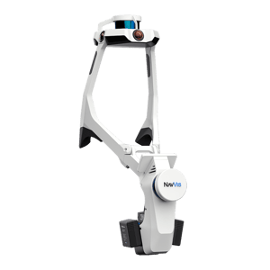
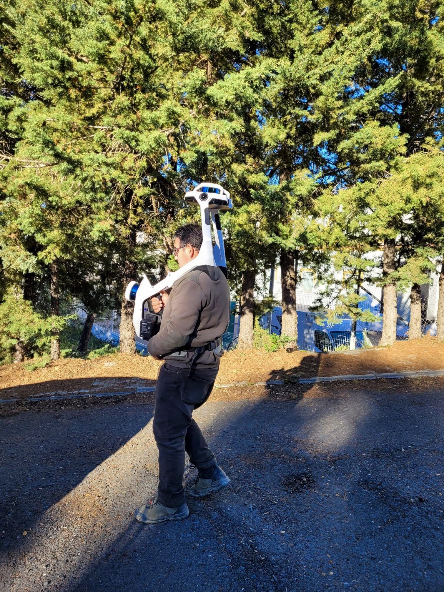
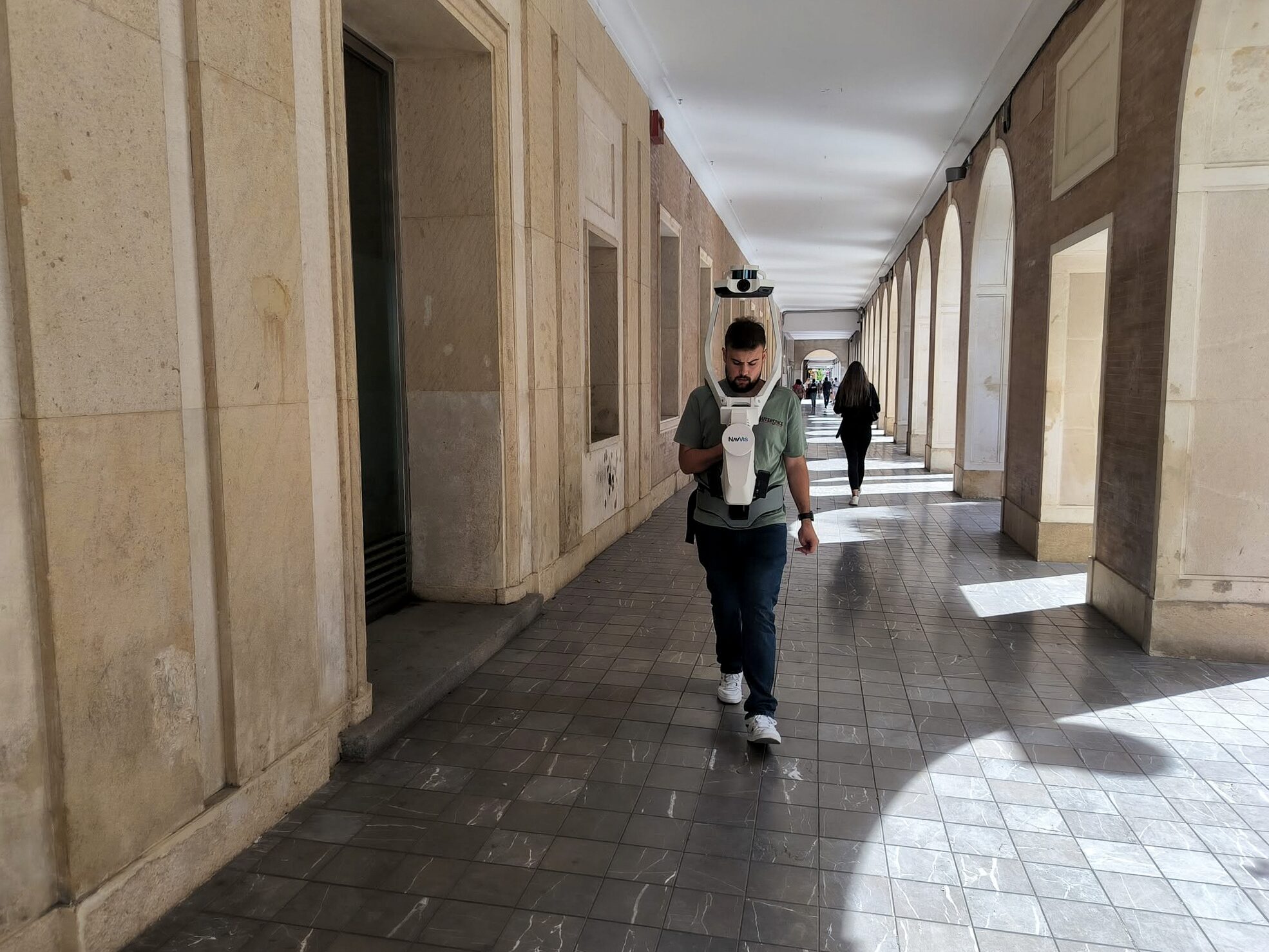
NavVis VLX2
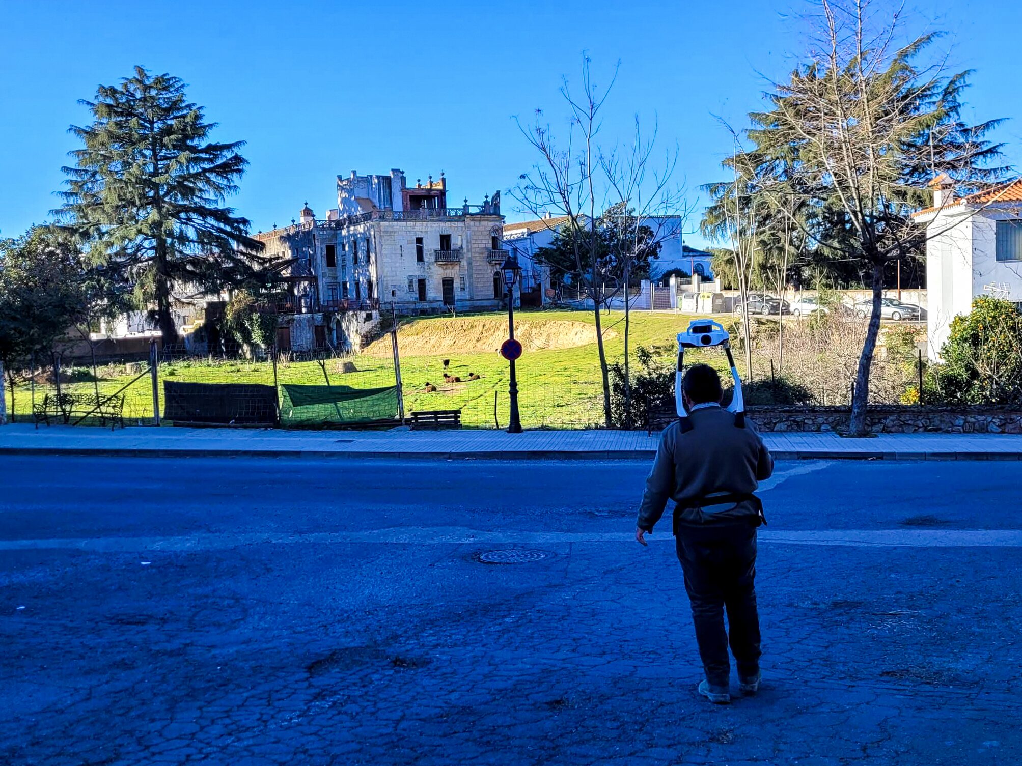
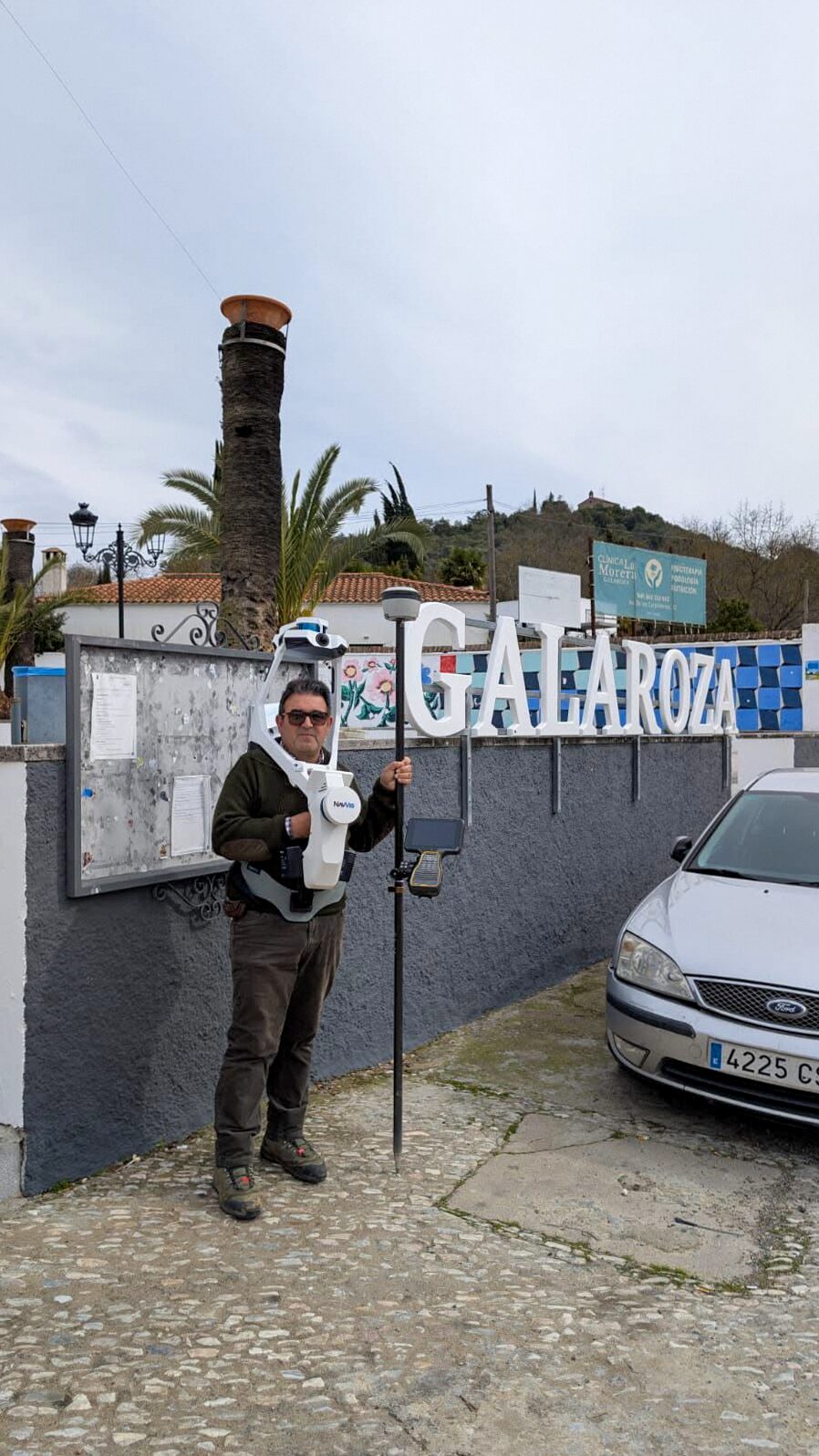
Mobile 3D scanning for point clouds and geometric documentation of interiors, buildings and industrial facilities.

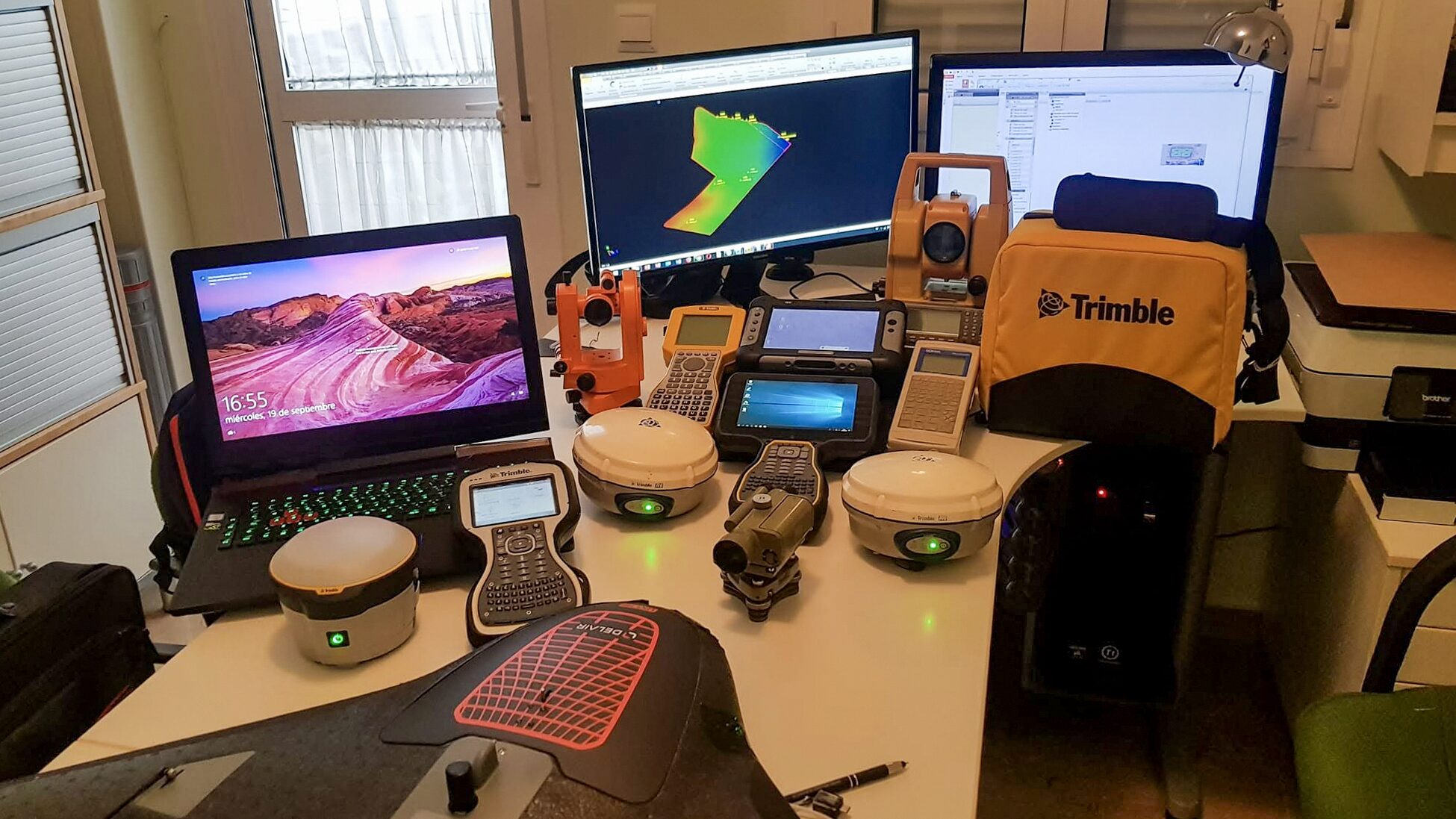
Our surveying and photography equipment combines land measurement, mobile 3D capture, aerial mapping and professional cameras. We first define your project requirements, then choose the equipment and capture method to deliver useful geometry or images.
Mobile 3D scanning for point clouds and geometric documentation of interiors, buildings and industrial facilities.
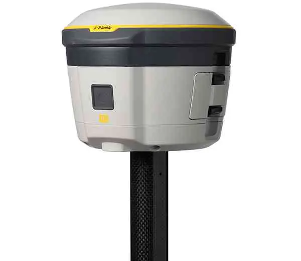
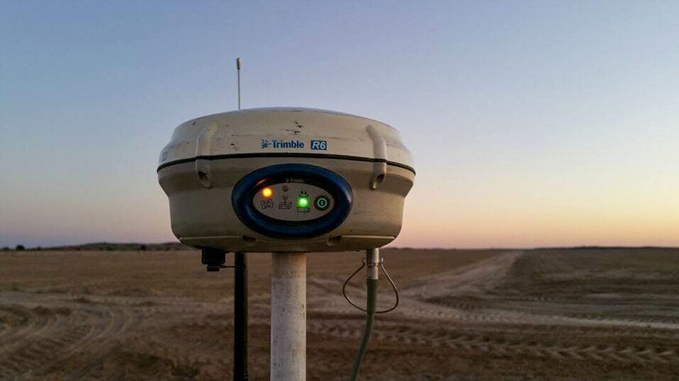
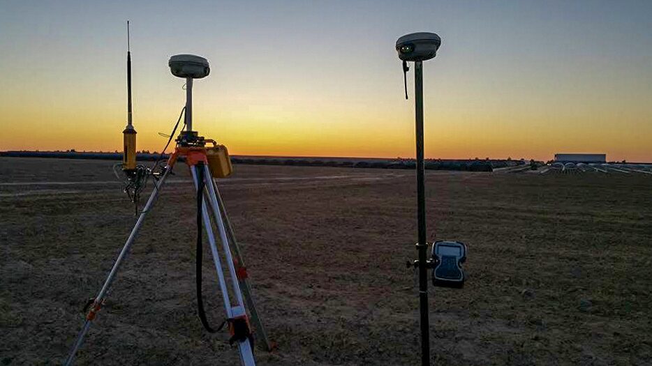
GNSS measurement for topographic surveys and georeferencing, using the method and control points defined for the project.
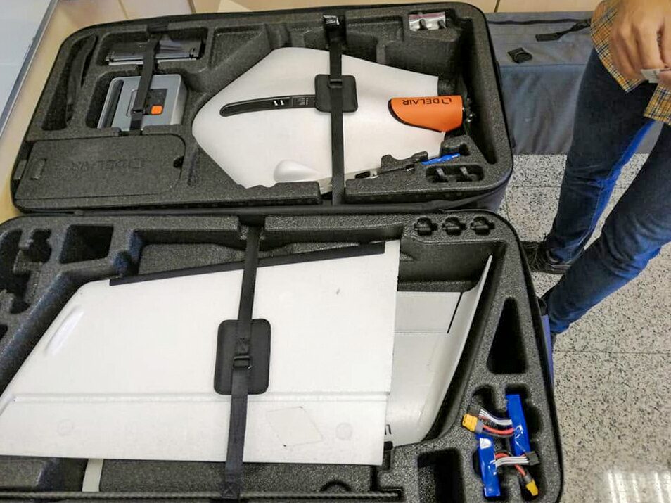
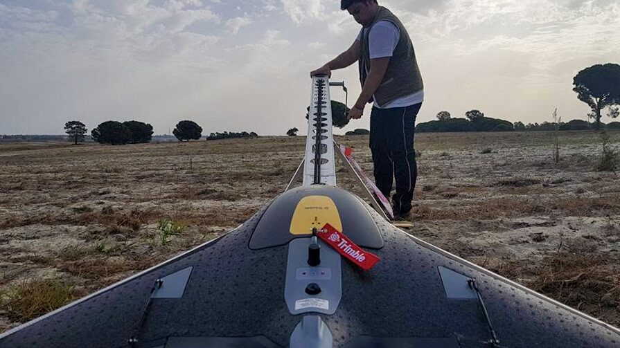
Fixed-wing aerial photogrammetry for terrain capture and cartographic documentation over larger areas.
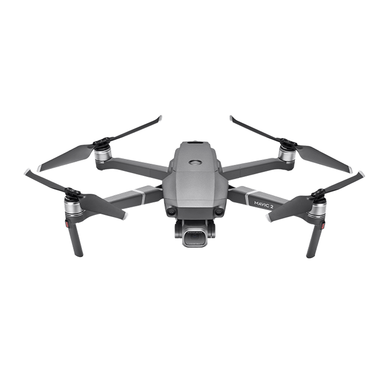
Aerial imagery for photogrammetry, orthophotos and documentation of terrain and built features.
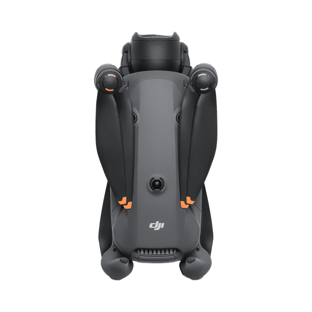
Aerial photographs and video of properties, hotels and installations, showing the building and its surroundings.
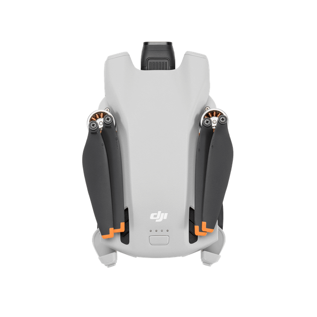
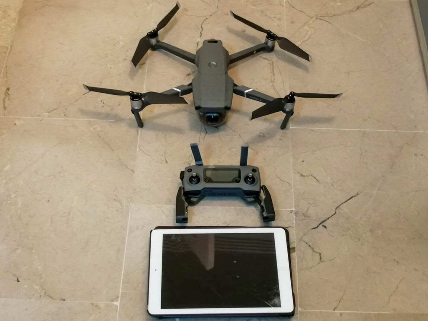
Compact aerial capture for photographs and video, with each flight planned for its location and purpose.
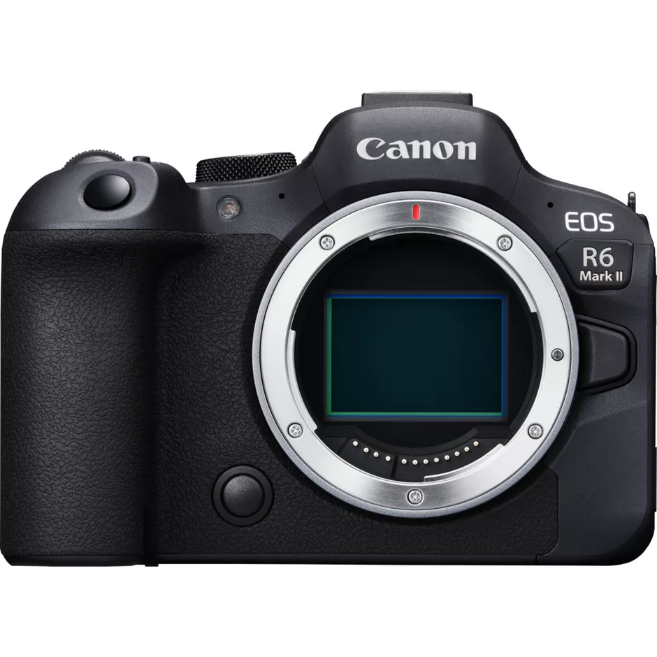
Photography and video for property shoots, product images and audiovisual content.
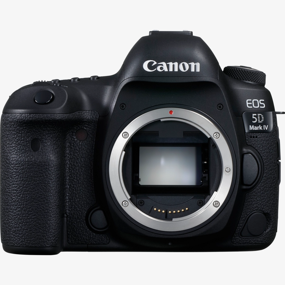
Professional photography for properties, architecture and products.
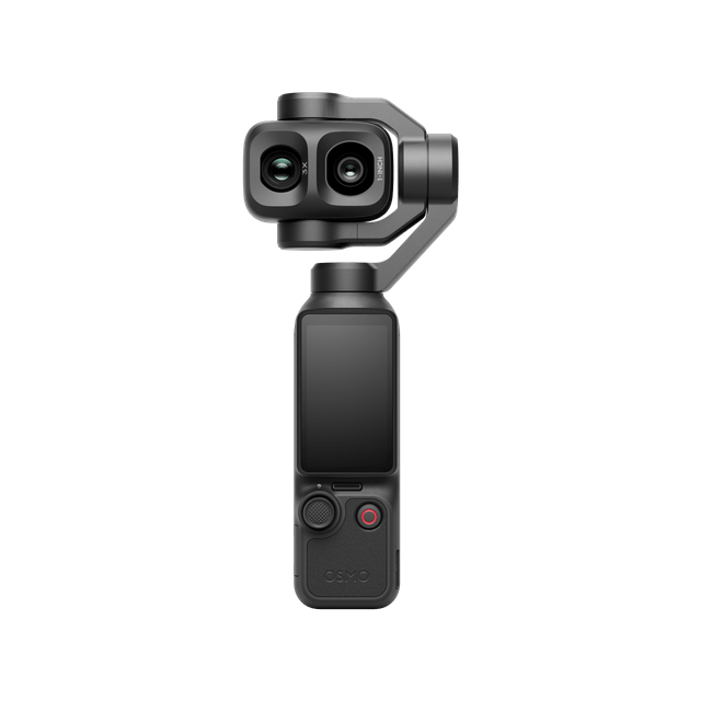
Compact stabilised video capture for walkthroughs and details of homes, hotels and other spaces.
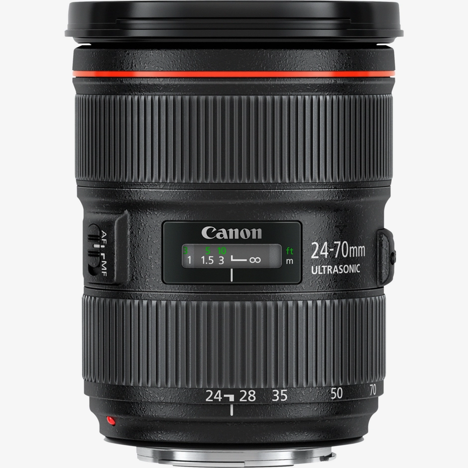
A versatile standard zoom for wider views and details in property and product photography.
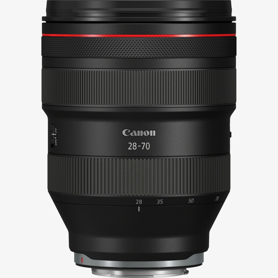
A standard zoom with f/2 maximum aperture for carefully composed spaces and details.
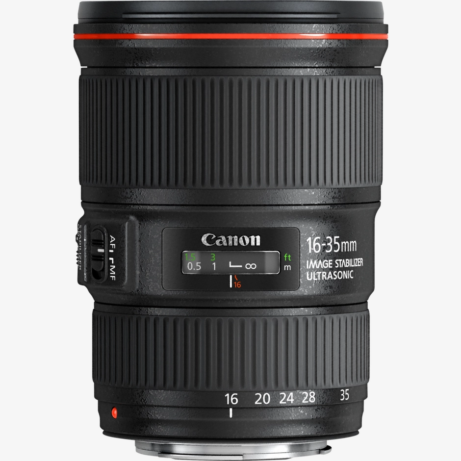
A wide-angle zoom for architecture and interiors, with attention to camera position and vertical lines.
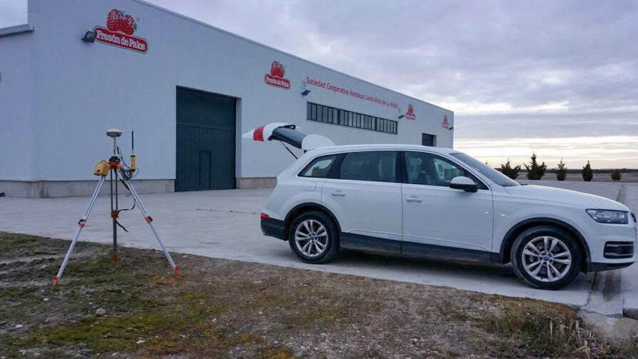
These photographs show our team preparing equipment, working in the field and documenting spaces. Open an image to see it in full.
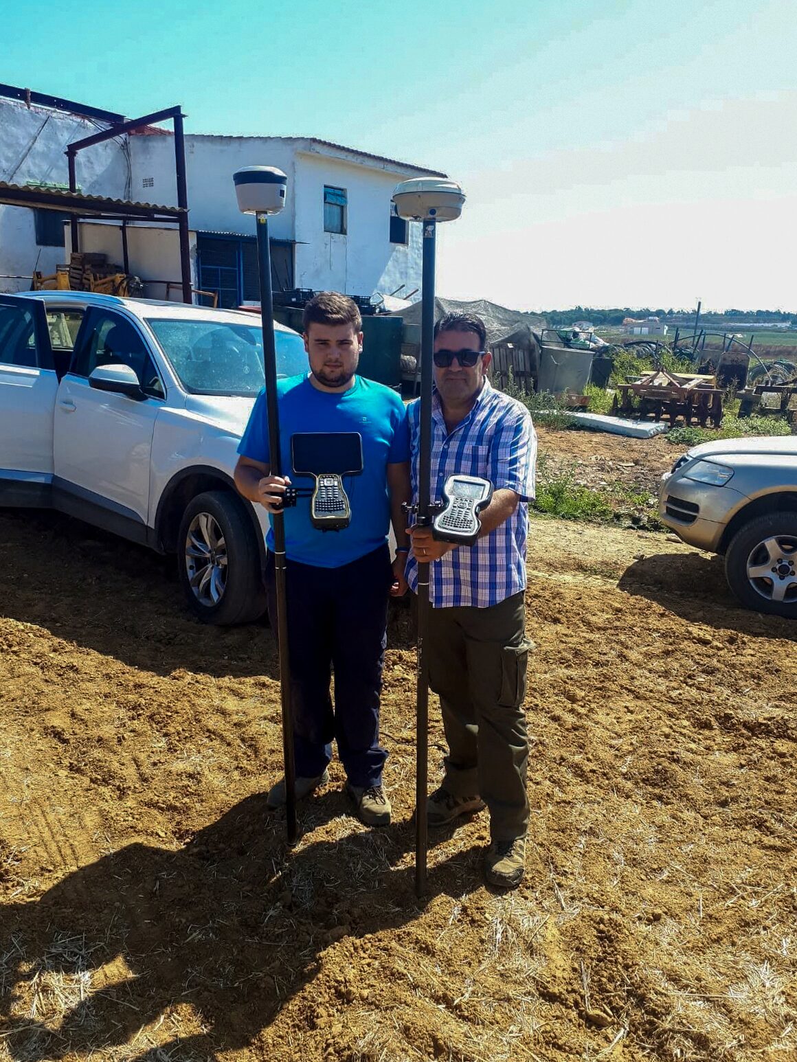
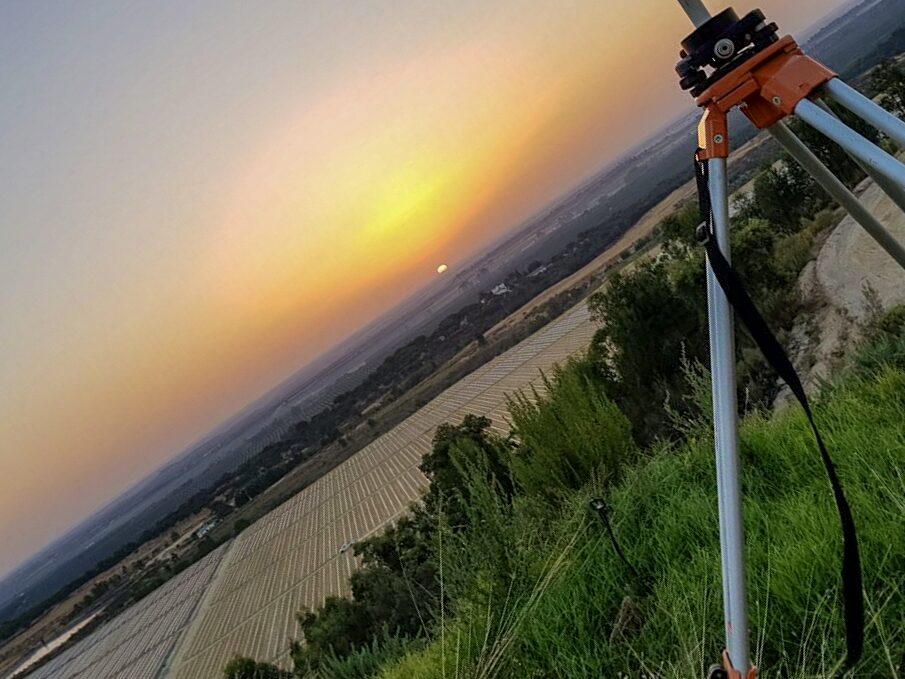
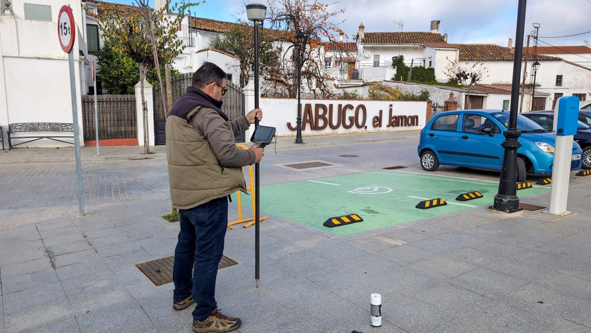
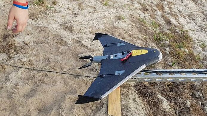
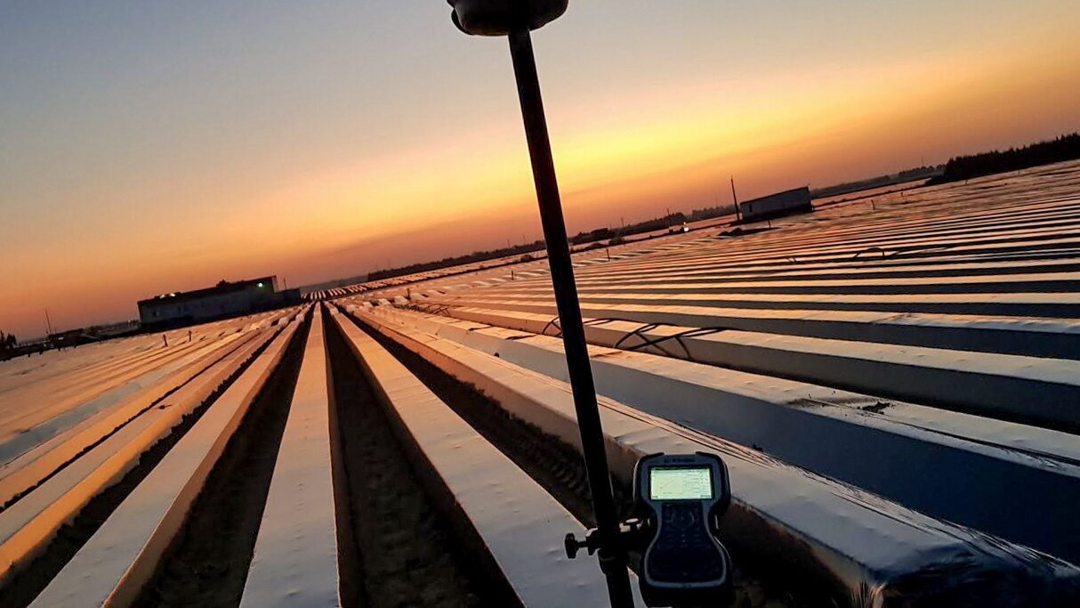
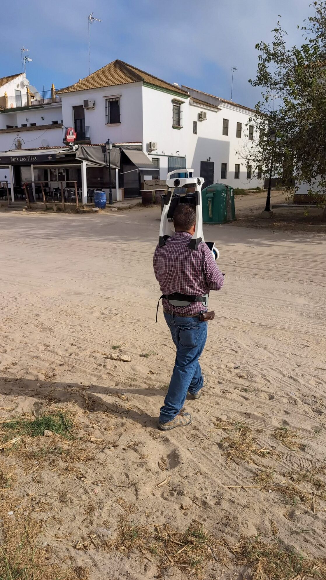
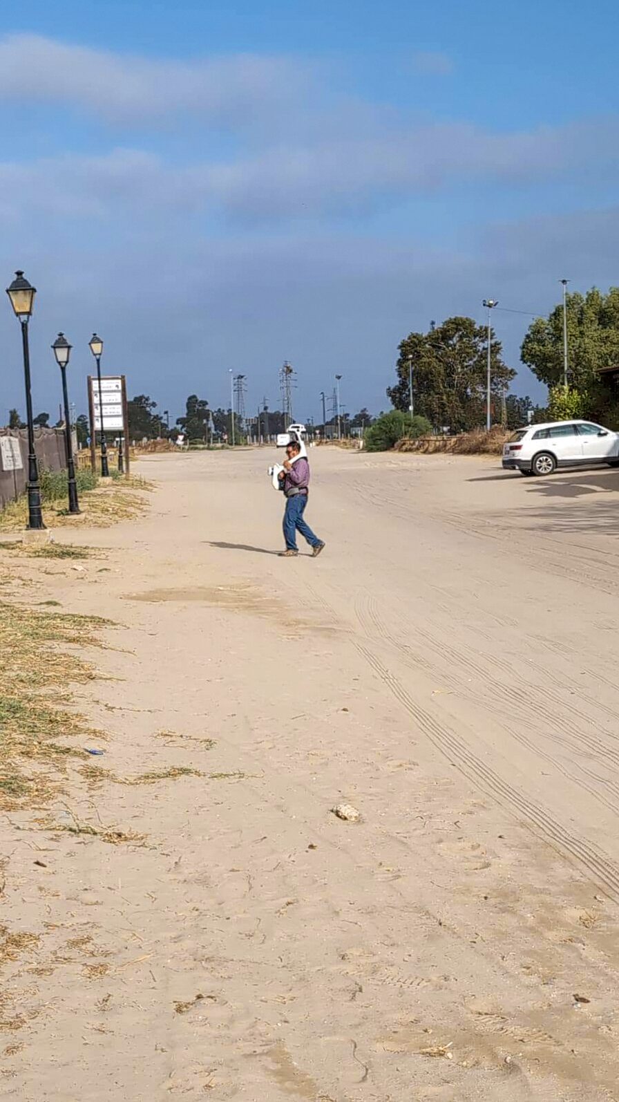
Ramón Guzmán Mateos leads the surveying side of Exitart, bringing technical experience since 1987. Our audiovisual work complements land and building capture with photography and video of properties, hotels and products.
For technical commissions, we agree accuracy, coverage and deliverables before starting. For photography, we plan the scene, lighting and output formats around the intended use.
Share the location, scope and timescale. We will help you define the survey, documentation or photographs you need.